
[ad_1]
The Intergovernmental Panel on Climate Change (IPCC) released the second part of its sixth assessment report on February 28, its latest analysis of the wide-ranging and complex impact that the climate crisis is likely to have, with some irreversible changes having already taken place. In India, February 28 was also the last day of the 2021-22 winter season, which runs from December to February. According to India Meteorological Department’s (IMD) gridded temperature dataset, this was the coldest winter India has experienced since the winter of 1951-52 by maximum temperature, largely a result of unseasonal rainfall. Here are four charts that explain how it turned out to be so.
This low maximum temperature this winter is at odds with historical trends
The average maximum temperature in India this winter (up to February 27) is 24.29 degrees Celsius. This is 1.51 degrees less than the average temperature for the December-February interval in the 1981-2010 period, considered the normal. In the second coldest winter since 1951-52 by this metric, which was the winter of 1983-84, maximum temperature was 1.15 degrees less than normal. On no day this winter was India’s average maximum temperature above normal, although it was the closest to this benchmark in December, when the average temperature for the month was 1.2 degrees or 4.7% below normal. January saw the most negative deviation of 2.02 degrees or 8.2%.

This winter was also anomalous because winter temperatures have been rising historically in India, as can be seen in decadal averages. Minimum temperatures this winter held on to that trend, reaching an average of 11.95 degrees Celsius, only 0.01 degrees lower than normal and only the 30th coldest in 71 years. Since the data for February 28, 2022 will become available with a lag, all comparisons in this analysis are for the December 1-February 27 period.
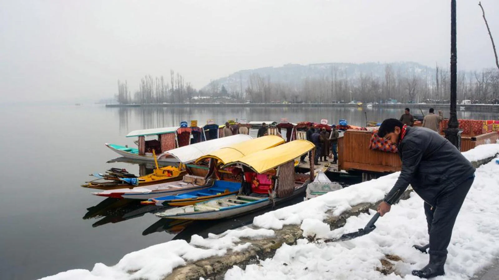
All of north India shivered during days this winter
IMD’s gridded temperature dataset allows us to compute historical temperatures individually for 29 states and UTs, but not for Delhi. HT has calculated these temperatures for Delhi by going beyond its administrative boundaries to include all neighbouring districts. Among these 30 states and UTs, 14 experienced one of their top five coldest winters since 1951-52 by maximum temperature this winter. Maharashtra, Uttarakhand, Meghalaya, and Sikkim experienced their coldest winter; Delhi and Odisha their second coldest winter; and Madhya Pradesh, Himachal Pradsh, Jammu and Kashmir, and Ladakh their third. There was a somewhat clear division in the kind of winter experienced by northern and north-eastern and peninsular states. In 19 states and UTs, the 2021-22 winter was among the top 11 coldest ones since 1951-52. In others, it was ranked 30th coldest or higher. These latter states are Karnataka, Andhra Pradesh, Telangana, Tamil Nadu, Kerala, and all north-eastern states except Sikkim and Meghalaya.
Regular rainfall interrupted any improvement in daytime temperatures
Rainfall or cloudy skies block sunlight and prevent days from getting warm and keep maximum temperatures low. This was one of the main causes of low maximum temperatures in India this winter. It is not the case that it does not rain in winter. It does, but not as much or as frequently as it did in the winter of 2021-22. Rainfall shot up above the Long Period Average (the average rainfall in the 1961-2010 period or LPA) at regular intervals. 11 of 30 states and UTs for which temperature data is also available experienced among the top 10 rainiest winters they have witnessed in 2021-22.
Rain interrupted Delhi’s maximum temperatures again
With one day to go, maximum temperatures in Delhi – which has experienced its second coldest winter since 1951-52 – for February also continued to be below normal, although by only 0.6 degrees. Since mid-February, maximum temperature in Delhi was above normal on all days except two: February 20 and February 23. Even on these two days, the deviation was less than a degree below normal. Rainfall in the past couple of days, however, ended that streak pushing maximum temperature to 2.8 degrees and 1.2 degrees below normal on February 26 and February 27.
[ad_2]
Source link